


Cleveland Way and the Yorkshire Wolds Way
Cleveland Way and the Yorkshire Wolds Way
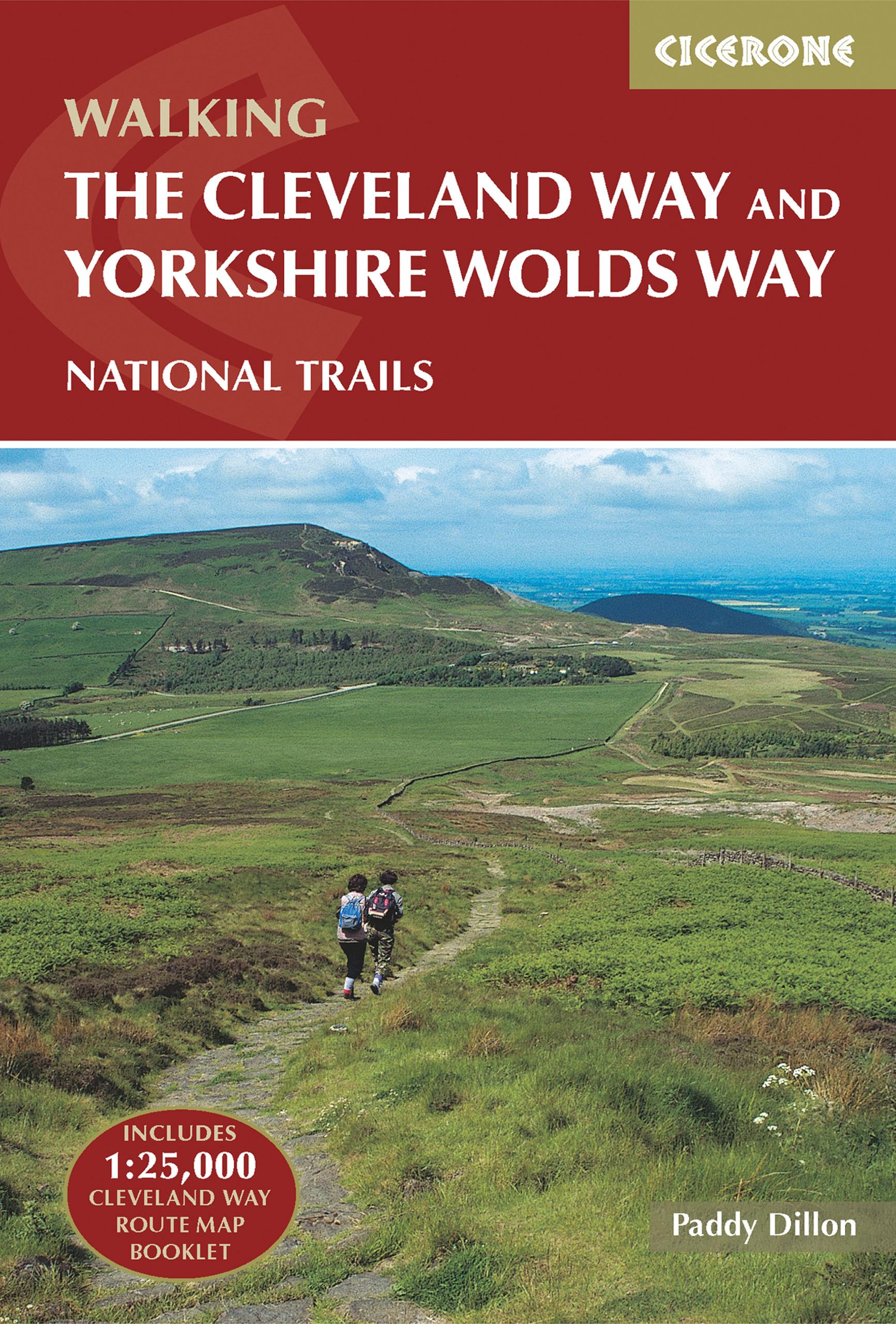
Guidebook to the Cleveland Way and Yorkshire Wolds Way National Trails, plus the Tabular Hills Walk link route. The guidebook also contains a 1:25,000 scale OS route map booklet of the Cleveland Way.
The Cleveland Way National Trail, described in seven day stages, is a fine 177km (110 miles) walk around the North York Moors National Park from Helmsley to Filey. The Yorkshire Wolds Way is one of the quietest of Britain's National Trails and wanders for 130km (80 miles) through gentle, cultivated and sparsely populated countryside. Described here in nine day stages, from Hessle near Redcar to Filey, it links end-to-end with the Cleveland Way on the coast. Also described is the three-day, 80km (50 mile) Tabular Hills Walk, a Regional Trail that allows walkers to close the loop of the Cleveland Way and transform it into an enormous circular walk.
The guidebook comes with a separate map booklet of 1:25,000 scale OS maps showing the full route of the Cleveland Way. The clear step-by-step route description links together with the map booklet at each stage along the Way, and the compact format is conveniently sized for slipping into a jacket pocket or the top of a rucksack.
PRP: 115.26 Lei
Acesta este Pretul Recomandat de Producator. Pretul de vanzare al produsului este afisat mai jos.
103.73Lei
103.73Lei
115.26 LeiPrimesti 103 puncte

Indisponibil
Descrierea produsului
Guidebook to the Cleveland Way and Yorkshire Wolds Way National Trails, plus the Tabular Hills Walk link route. The guidebook also contains a 1:25,000 scale OS route map booklet of the Cleveland Way.
The Cleveland Way National Trail, described in seven day stages, is a fine 177km (110 miles) walk around the North York Moors National Park from Helmsley to Filey. The Yorkshire Wolds Way is one of the quietest of Britain's National Trails and wanders for 130km (80 miles) through gentle, cultivated and sparsely populated countryside. Described here in nine day stages, from Hessle near Redcar to Filey, it links end-to-end with the Cleveland Way on the coast. Also described is the three-day, 80km (50 mile) Tabular Hills Walk, a Regional Trail that allows walkers to close the loop of the Cleveland Way and transform it into an enormous circular walk.
The guidebook comes with a separate map booklet of 1:25,000 scale OS maps showing the full route of the Cleveland Way. The clear step-by-step route description links together with the map booklet at each stage along the Way, and the compact format is conveniently sized for slipping into a jacket pocket or the top of a rucksack.
The Cleveland Way National Trail, described in seven day stages, is a fine 177km (110 miles) walk around the North York Moors National Park from Helmsley to Filey. The Yorkshire Wolds Way is one of the quietest of Britain's National Trails and wanders for 130km (80 miles) through gentle, cultivated and sparsely populated countryside. Described here in nine day stages, from Hessle near Redcar to Filey, it links end-to-end with the Cleveland Way on the coast. Also described is the three-day, 80km (50 mile) Tabular Hills Walk, a Regional Trail that allows walkers to close the loop of the Cleveland Way and transform it into an enormous circular walk.
The guidebook comes with a separate map booklet of 1:25,000 scale OS maps showing the full route of the Cleveland Way. The clear step-by-step route description links together with the map booklet at each stage along the Way, and the compact format is conveniently sized for slipping into a jacket pocket or the top of a rucksack.
Detaliile produsului
De pe acelasi raft
-

PRP: 88.26 Lei
79.43 Lei
79.43 Lei88.26 Lei
-
PRP: 173.29 Lei
155.96 Lei
155.96 Lei173.29 Lei
-
PRP: 123.94 Lei
111.55 Lei
111.55 Lei123.94 Lei
-
PRP: 87.99 Lei
79.19 Lei
79.19 Lei87.99 Lei
-
PRP: 87.99 Lei
79.19 Lei
79.19 Lei87.99 Lei
-
PRP: 139.82 Lei
125.84 Lei
125.84 Lei139.82 Lei
De acelasi autor
-
PRP: 202.17 Lei
181.95 Lei
181.95 Lei202.17 Lei
-
PRP: 173.29 Lei
155.96 Lei
155.96 Lei173.29 Lei
-
PRP: 115.26 Lei
103.73 Lei
103.73 Lei115.26 Lei
-
PRP: 128.86 Lei
115.97 Lei
115.97 Lei128.86 Lei
-
PRP: 87.99 Lei
79.19 Lei
79.19 Lei87.99 Lei
-
PRP: 87.99 Lei
79.19 Lei
79.19 Lei87.99 Lei
